


A Half-Century of Change in Arctic Alaskan Shrubs: A Photographic-Based Assessment
Summary
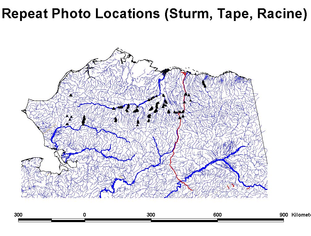
In this study, the locations of 193 old aerial photographs of northern Alaskan landscapes were rephotographed and assessed for changes in vegetation. The original photographs were taken over northern Alaska between 1948 and 1951, and the new photographs were taken between 1999 and 2003. The region covered by the original and repeat photographs stretches from the southern extent of the Brooks Range in the south to the Coastal Plain in the north, and from the Chukchi Sea in the west to the Canning River in the east.
The original photographs were taken by the U.S. military as part of geologic reconnaissance and exploration, and the method used to acquire them was to fly both sides of a river valley while photographing the river and the facing valley slopes. Of the several thousand original photographs, only a fraction were repeated for the purpose of assessing vegetation change. Repeat photographs were selected for geographic coverage and to produce the greatest likelihood of detecting vegetation change. The original and repeat photographs were then scanned and stored in TIFF format. Individual image file sizes range from 5 to 60 MB each, and the total file size for the data set is approximately 11 GB.
The images should not be published without the consent of the investigators.
Data access
- download: NSF Arctic Data Center
Additional information
| Identifier | |
| Versions |
|
| Subscribe | Subscribe to receive email when new or updated data is available. |
| Related projects | |
| Spatial Type | point |
| Frequency | other |
| Language | English |
| ISO Topic Categories |
|
| Categories | |
| Platforms | |
| Instruments | |
| GCMD Science Keywords | Expand keywords |
| Documentation |
|
| Related links |
|
Temporal coverage
| Begin datetime | 1948-01-01 01:01:00 |
| End datetime | 2003-12-31 23:59:59 |
Spatial coverage
Map data from IBCSO, IBCAO, and Global Topography.
Maximum (North) Latitude:
70.00,
Minimum (South) Latitude:
68.00
Minimum (West) Longitude:
-165.00,
Maximum (East) Longitude:
-145.00
Primary point of contact information
Matthew Sturm <msturm@crrel.usace.army.mil>
Additional contact information
- author: Matthew Sturm <msturm@crrel.usace.army.mil>
- author: Charles H. Racine <charles_racine@yahoo.com>
- originator: Matthew Sturm <msturm@crrel.usace.army.mil>
Citation
Sturm, M., Racine, C. 2011. A Half-Century of Change in Arctic Alaskan Shrubs: A Photographic-Based Assessment. Version 1.0. NSF NCAR Earth Observing Laboratory. https://doi.org/10.5065/D6J10187. Accessed 20 Jun 2026.
Today's date is shown: please replace with the date of your most recent access.