


HLY13-01 Marine Mammal Watch
Project:
Summary
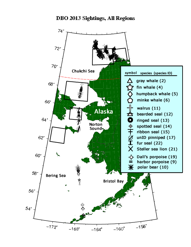
This dataset contains upper trophic data from DBO regions 2-5 during the USCGC (United States Coast Guard Cutter) Healy 2013 (AWS13) cruise. The data consists of marine mammal watch, sea ice cover, sea state, weather, and visibility measurements.
Data access
- ORDER data for delivery by FTP
Additional information
| Identifier | |
| Data Quality | final |
| Versions |
|
| Subscribe | Subscribe to receive email when new or updated data is available. |
| Related projects | |
| Frequency | continuous |
| Language | English |
| ISO Topic Categories |
|
| Categories | |
| Platforms | |
| Instruments | |
| Sites | |
| GCMD Science Keywords |
|
| Documentation |
|
| Related links |
|
Temporal coverage
| Begin datetime | 2013-07-29 16:25:00 |
| End datetime | 2013-08-14 19:00:00 |
Spatial coverage
Map data from IBCSO, IBCAO, and Global Topography.
Maximum (North) Latitude:
72.578,
Minimum (South) Latitude:
53.556
Minimum (West) Longitude:
-168.55,
Maximum (East) Longitude:
-156.28
Primary point of contact information
Sue E. Moore <sue.moore@noaa.gov>
Additional contact information
- principalInvestigator: Sue E. Moore <sue.moore@noaa.gov>
- principalInvestigator: Jacqueline M. Grebmeier <jgrebmei@cbl.umces.edu>
- author: Sue E. Moore <sue.moore@noaa.gov>
- author: Jacqueline M. Grebmeier <jgrebmei@cbl.umces.edu>
Citation
Moore, S., Grebmeier, J. 2015. HLY13-01 Marine Mammal Watch. Version 1.0. UCAR/NCAR - Earth Observing Laboratory. https://doi.org/10.5065/D6V98643. Accessed 27 Jul 2024.
Today's date is shown: please replace with the date of your most recent access.