


Fast 2D-S Imagery -- png format
Summary
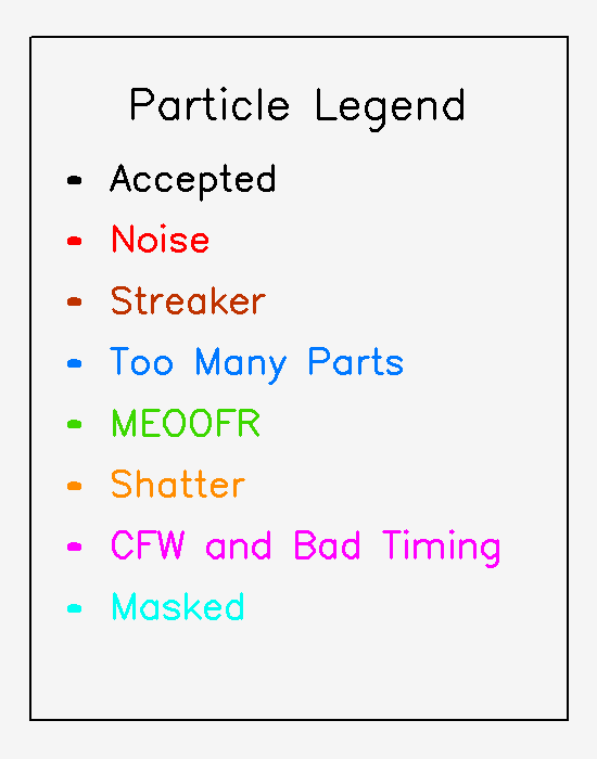
A 2D-S instrument is a cloud particle probe that contains two orthogonal open path optical array probes, which image cloud particles between about 10 microns - 2 mm in size as they pass through the instrument sample volume. This imagery is used to calculate the concentration and cross-sectional area size distributions, and to estimate the mass size distribution of the observed cloud particles. These variables are integrated across the size bins to obtain the total concentration, extinction, and estimated total water content over the observed size range. The particle imagery can be utilized to infer cloud particle phase. This data does not cover the full size range of cloud particles, and should be analyzed in conjunction with complementary cloud probes, such as the CDP, HVPS, etc. This dataset contains Fast 2D-S imagery in png format collected aboard the NCAR C-130 during the CAESAR project.
The images have been combined into hour long tarfiles running from zero minutes zero seconds to 59 minutes 59 seconds after each hour. Note that the first and last tarfile for each flight will contain less than a full hour of imagery. Directory files returned with each order give the contents of each corresponding tar file.
Data access
- ORDER data for delivery by FTP
- authorization required
- user agreement required
Additional information
| Homepage | |
| Data Quality | preliminary |
| Versions |
|
| Subscribe | Subscribe to receive email when new or updated data is available. |
| Related projects | |
| Spatial Type | raster |
| Frequency | < 1 second |
| Language | English |
| Categories | |
| Platforms | |
| GCMD Science Keywords | Expand keywords |
| Documentation |
|
| Restrictions |
|
| Related links |
|
Temporal coverage
| Begin datetime | 2024-02-09 15:52:21 |
| End datetime | 2024-04-03 17:02:41 |
Spatial coverage
Map data from IBCSO, IBCAO, and Global Topography.
Maximum (North) Latitude:
82.00,
Minimum (South) Latitude:
66.00
Minimum (West) Longitude:
-14.00,
Maximum (East) Longitude:
24.00
Primary point of contact information
UCAR/NCAR - Earth Observing Laboratory
Additional contact information
- author: Sarah Woods <sfwoods@ucar.edu>
Citation
Woods, S. 2024. Fast 2D-S Imagery -- png format. Version 0.1 [PRELIMINARY]. UCAR/NCAR - Earth Observing Laboratory. https://data.eol.ucar.edu/dataset/638.029. Accessed 16 Jul 2024.
Today's date is shown: please replace with the date of your most recent access.
This dataset does not have a DOI. If you plan to cite this dataset, please email us to request a DOI, which will improve the searchability and cross-referencing of the citation.