


T-REX: UK Met Office 3dVOM 2km Imagery
Summary
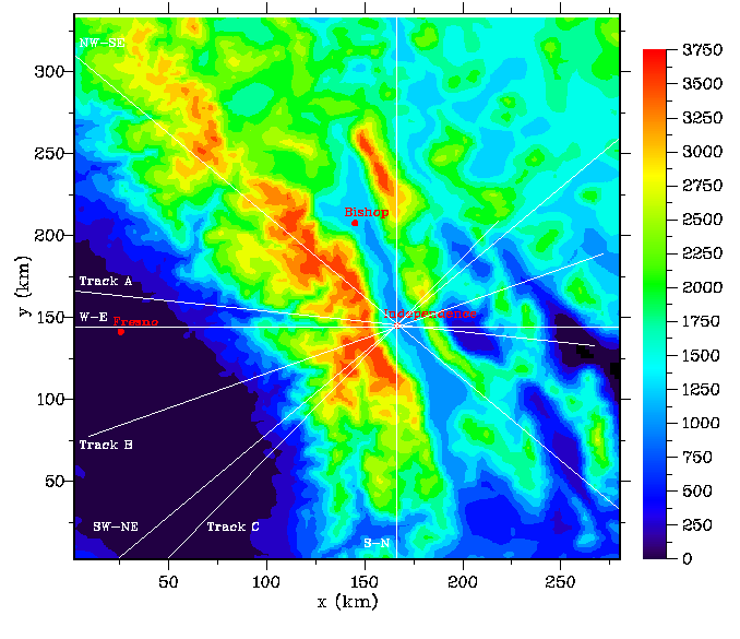
This data set contains 3dVOM forecasts at 2km resolution for the Sierra Nevada during the T-REX field project. 3dVOM (3-D Velocities over Mountains) is a finite-difference numerical model designed for high-resolution simulations of lee waves generated by flow over complex terrain. The data are in zip files by day.
Data access
- ORDER data for delivery by FTP
Additional information
| Identifier | |
| Data Quality | final |
| Versions |
|
| Subscribe | Subscribe to receive email when new or updated data is available. |
| Related projects | |
| Spatial Type | unknown |
| Frequency | daily |
| Language | English |
| Categories | |
| Platforms | |
| Instruments | |
| GCMD Science Keywords |
|
| Documentation |
|
| Related links |
|
Temporal coverage
| Begin datetime | 2006-02-13 00:00:00 |
| End datetime | 2006-05-04 23:59:59 |
Spatial coverage
Map data from IBCSO, IBCAO, and Global Topography.
Maximum (North) Latitude:
37.00,
Minimum (South) Latitude:
35.00
Minimum (West) Longitude:
-118.00,
Maximum (East) Longitude:
-114.00
Primary point of contact information
Simon Vosper <simon.vosper@metoffice.gov.uk>
Additional contact information
- originator: Simon Vosper <simon.vosper@metoffice.gov.uk>
- author: UK Met Office (UKMO)
Citation
UK Met Office (UKMO), Vosper, S. 2007. T-REX: UK Met Office 3dVOM 2km Imagery. Version 1.0. UCAR/NCAR - Earth Observing Laboratory. https://doi.org/10.26023/XNQ1-2SWT-M90E. Accessed 27 Jul 2024.
Today's date is shown: please replace with the date of your most recent access.